
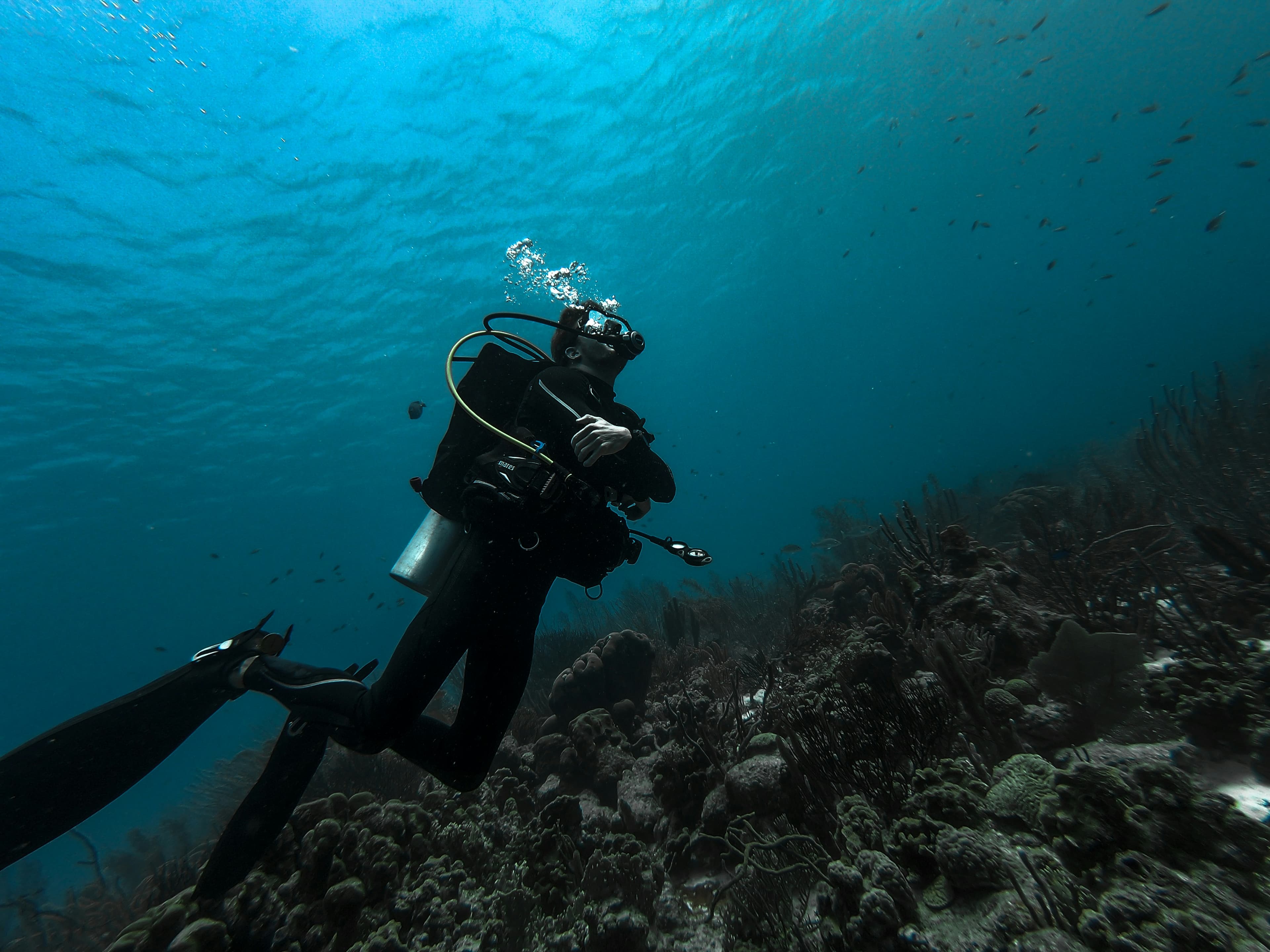
Midshore
Federal waters, 10–19 miles out. Typical depths 60′ to 100′. Advanced training and Nitrox start to matter here.
10–19 NM
From the Pass
60–100′
Typical depths
60–100′
Pete Tide II
30 08.760′N / 87 14.020′W
180′ former oil-field supply boat, sunk 1993. Fully intact. Pilot house about 60′, sand about 100′. Local favorite and a Panhandle Shipwreck Trail site.
65–100′
YDT-14 (Navy Dive Tender)
30 05.330′N / 87 09.640′W
132′ × 30′ Navy tender sunk April 2000. Mostly intact. About 18 miles southeast of the Pass. Panhandle Shipwreck Trail.
75–100′
YDT-15 (Navy Dive Tender)
30 05.267′N / 87 09.550′W
Sister to YDT-14, about 500′ away. Roof and pilot house largely gone; plenty of structure remains.
75–93′
I-10 Bridge Rubble
Six reefs in an east–west line of Interstate 10 material from Hurricane Ivan. Over 100,000 tons of spans and pilings. Stacked up to 30′ high in places. Seafloor coverage on the order of a Super Walmart. If you want marine life, this is the place.
75–95′
Tug Heron & LCM
30 08.187′N / 87 13.684′W
Sunk together in 1990. 53′ steel tug upright beside remnants of a 51′ LCM. Hurricane Opal separated them in 1995; the tug had sat upside-down on the landing craft.
70–95′
Tug Born Again
30 08.222′N / 87 14.218′W
Sunk January 1991, about 13.5 miles from the Pass. 65′ tug, mostly intact, subsided. Hold filled with 21 steel pipes about 18′ long that extend over the decking. Lobster and critters hide there.