
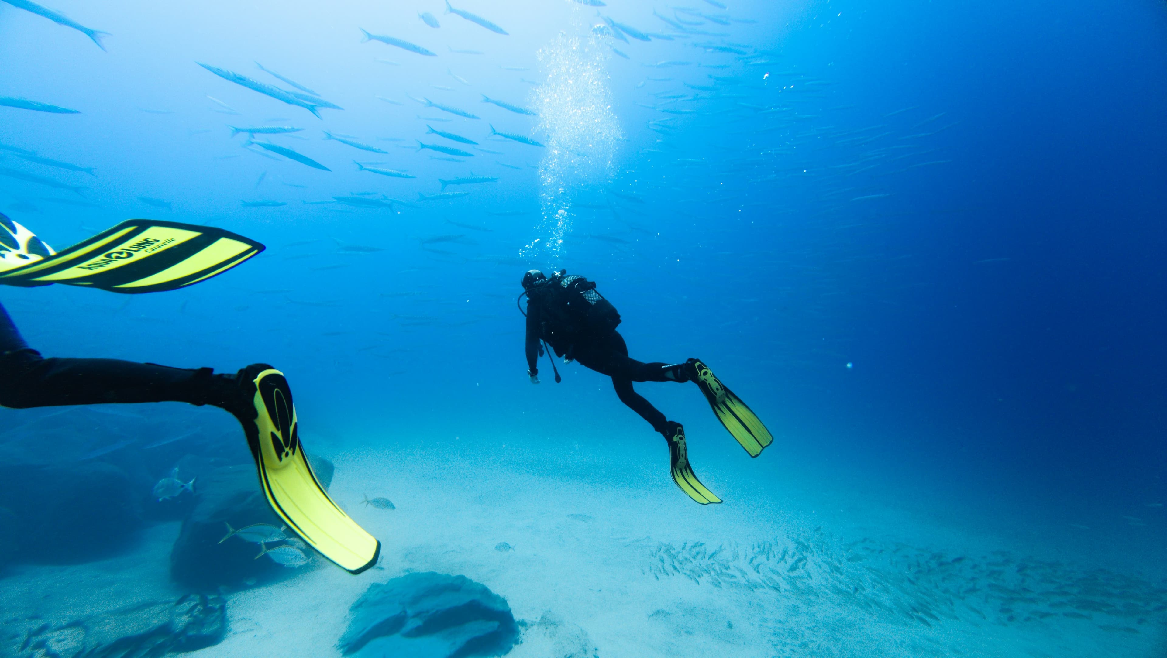
Nearshore
Inshore sites in state waters, up to 9 miles from Pensacola Pass. Typical depths 10′ to 95′. A natural next step after Open Water.
1–9 NM
From Pensacola Pass
10–95′
Site range
10–30′
USS Massachusetts (BB-2)
30 17.795′N / 87 18.720′W
Launched 1893, commissioned 1896, the oldest American battleship still in existence. 350′ × 69′, Indiana-class, first U.S. ships with hull numbers. Decommissioned 1919, towed to Pensacola in 1921 as an artillery target. Dedicated as a Florida Underwater Archaeological Preserve on the 100th anniversary of her launch, June 10, 1993.
35–50′
Joe Patti Memorial Reef
30 17.330′N / 87 13.755′W
Sunk July 2013. Metal artwork welded to the barge is all Pensacola. Top of structure about 35′, sand about 50′. Popular for every experience level.
80–95′
Joseph L. Meek Liberty Ship
30 16.384′N / 87 09.574′W
480′ Liberty ship built 1942, launched November 16, sunk as a reef in 1976. About 9.5 miles out of Pensacola Pass, upright, sides rising 20′ off the bottom. Large game fish. A Panhandle Shipwreck Trail site.
65–75′
Tex Edwards Barge
30 16.138′N / 87 10.157′W
Sunk 1982, about 7 miles east of the Pass. Large sections remain intact with overhangs. All recreational levels.
60–80′
San Pablo / Russian Freighter
30 11.333′N / 87 13.057′W
Not Russian, not a freighter: a fruit transport sunk in August 1944 by a then-secret radio-controlled explosive boat. Wreckage spread about 300′ × 40′. One of 12 Panhandle Shipwreck Trail sites.
55–82′
Ocean Wind Tug
30 10.995′N / 87 12.017′W
Sunk January 2016. 87′ tug, upright and intact, just east of the Russian Freighter. She towed many of the reefs she now sits among.
40–50′
Lane Gilchrist Reef (Bridge Rubble)
30 17.467′N / 87 13.773′W
8,000 tons of concrete from the old Gulf Breeze Fishing Bridge, destroyed by Hurricane Ivan in 2004. About 3 miles southeast of the Pass on a 60-acre site.
40–50′
Three Coal Barges
30 17.450′N / 87 13.257′W
Sunk 1974 about 3 miles southeast of the Pass after breaking free in transit. Broken pieces now surrounded by bridge rubble placed to rejuvenate the site.